|
Sha Tin Monitoring
Station
|
Address:
|
Sha
Tin Government Secondary School, 11-17 Man Lai Road
|
| |
  |
|
Height
Above Ground:
|
21
metres
|
|
Land
Use Zone/Area:
|
New
Town
|
|
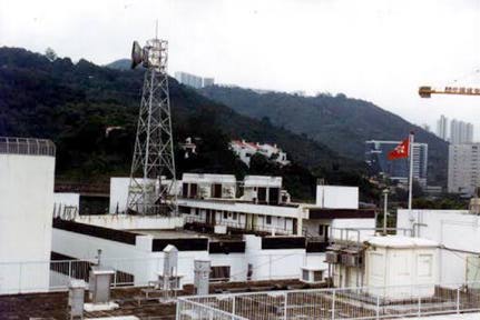
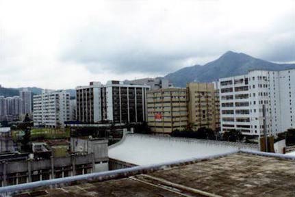
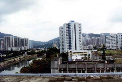
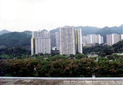
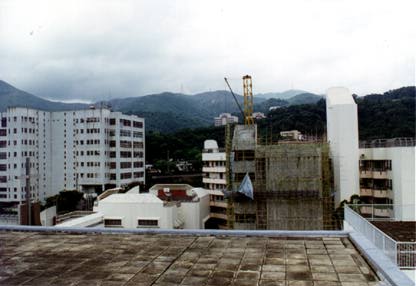
Photos of surrounding
environment of Sha Tin monitoring station
(By selecting the following icons with mouse, enlarged photos can
be viewed)
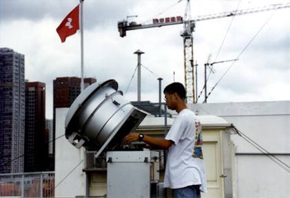
Photos of field
operations of Sha Tin monitoring station
(By selecting the following icons with mouse, enlarged photos can
be viewed)
|